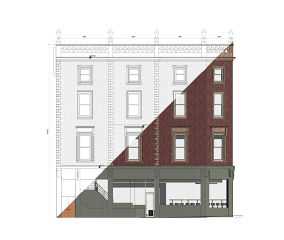
3D Studio – from drawings to reality
Visualisations, flythroughs and verified views that bring schemes to life before they’re built.
Explore 3D Studio
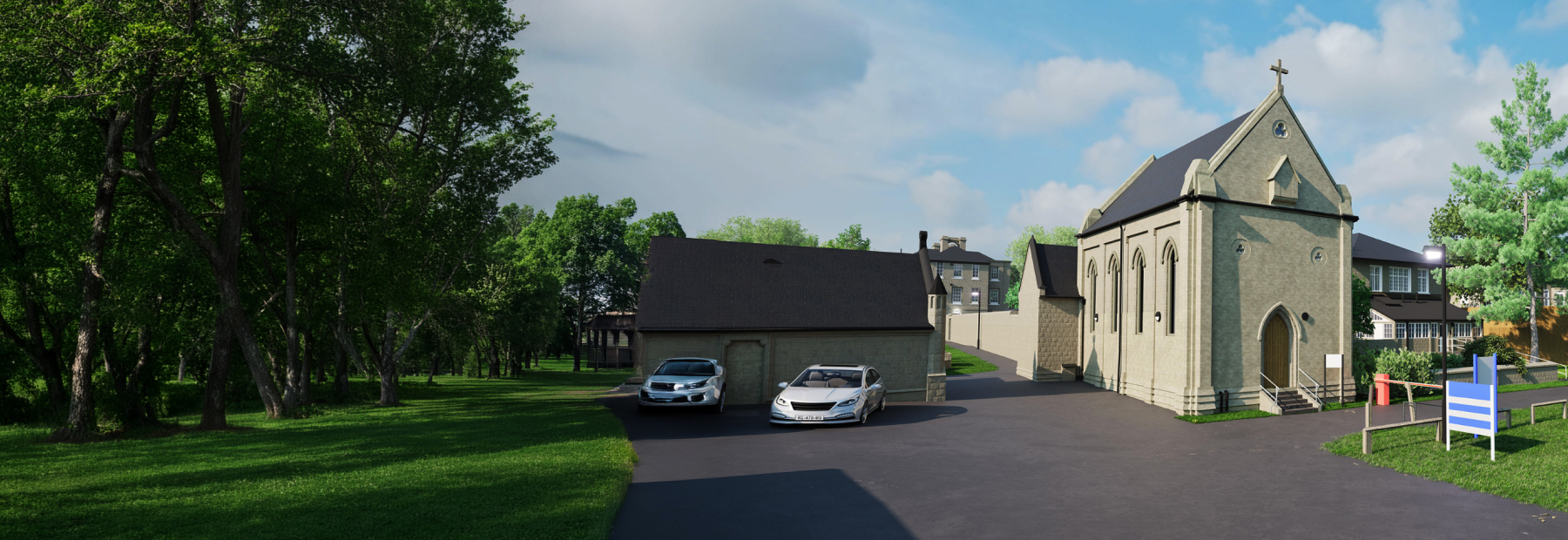
From a single plot to major infrastructure, precise spatial insight gives every project a solid starting point.
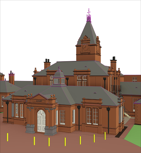
LET'S TALKWarneford Hospital, Oxford
3D digital twins of historic and modern buildings.
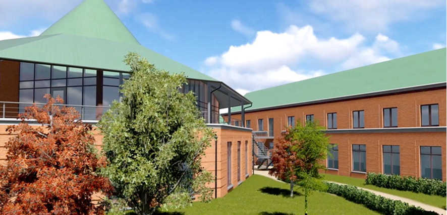
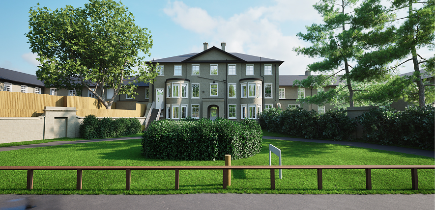
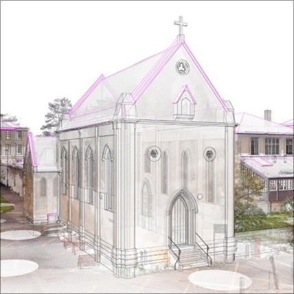
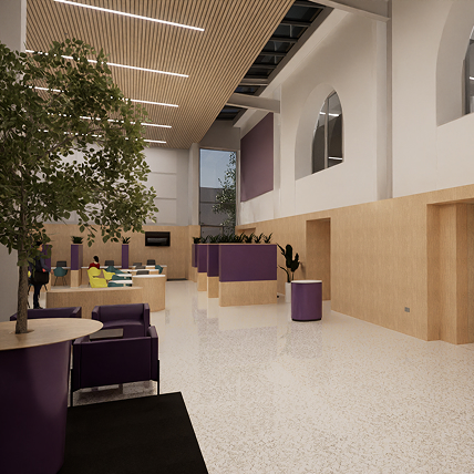
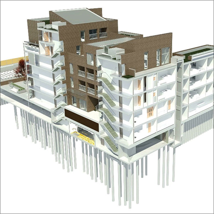
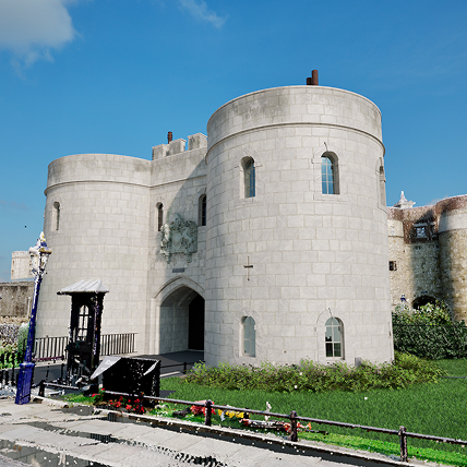
From the field to the finished model, we capture, map and visualise the built environment, turning precise measurement into spatial data, 3D models and immersive visualisations.
Geomatics captures the world as it is; 3D Studio brings it to life – together, across the whole project lifecycle.
Visualisations, flythroughs and verified views that bring schemes to life before they’re built.
Explore 3D Studio
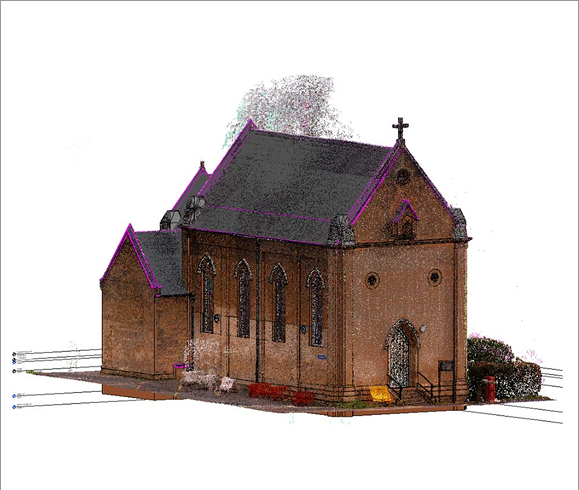
Laser scanning and detailed 3D models that give retrofit, refurbishment and estate teams an accurate record to work from.
Underground utility surveys to the industry standard that reduce strike risk, delays and redesign on site.
Survey and 3D modelling behind projects of every scale, from individual sites to major infrastructure and development schemes.
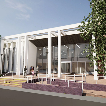
Glanville is proud to be playing a key role in the £6.8million redevelopment of Reading Library, commissioned by Reading Borough Council...
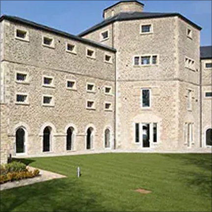
Read more Transforming Reading Library3D digital twins of historic and modern buildings – detailed LOD4 models and an interactive viewer supporting conservation and long-term estate planning…
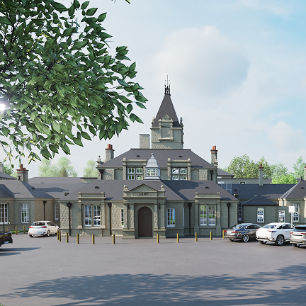
Read more Warneford Hospital, OxfordA topographical survey and flood risk assessment that helped demonstrate a viable scheme to revive a Grade II listed building dating from 1811…
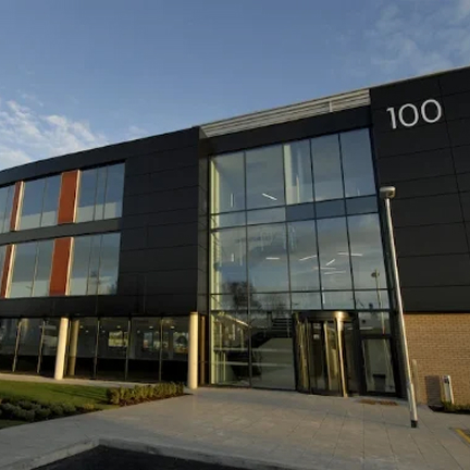
Read more The Old Gaol, AbingdonMeasured survey supporting two new Grade A office buildings on a brownfield site, including space for innovative and start-up businesses, at one of the UK’s largest business parks...
Read more 99 – 100 Milton Park